 ເທຣດເດີໂທລະທັດ
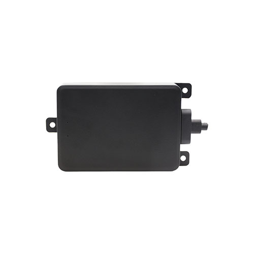
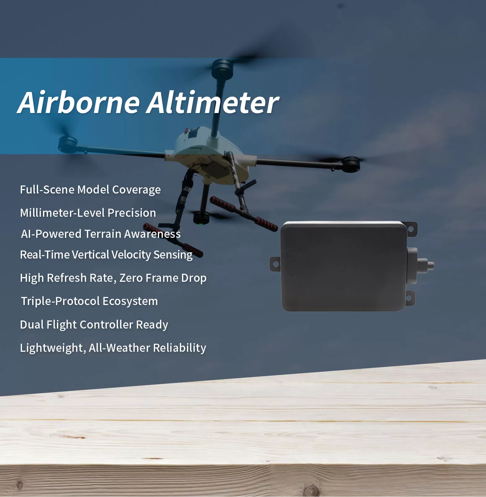
ເຮືອບິນ drones ລະດັບອຸດສາຫະກໍາພົບຂີ້ຝຸ່ນເປັນປົກກະຕິ, ຝົນ, ໝອກ, ແລະຄວັນຢາສູບ — ເງື່ອນໄຂການເບິ່ງເຫັນຕ່ໍາບ່ອນທີ່ວິໄສທັດແລະເຊັນເຊີ ultrasonic ມີຄວາມສ່ຽງທີ່ຈະລົ້ມເຫຼວ, ແຕ່ radar ຄື້ນ millimeter ເຈາະເຂົ້າໄປໃນການແຊກແຊງແລະສະຫນອງການອ່ານລະດັບຄວາມສູງທີ່ຫມັ້ນຄົງ. ຄວາມສາມາດສະພາບອາກາດທັງຫມົດນີ້, ບວກກັບພູມຕ້ານທານການແຊກແຊງທີ່ເຂັ້ມແຂງແລະປັດໃຈຮູບແບບທີ່ມີນ້ໍາຫນັກເບົາ, ໄດ້ເຮັດໃຫ້ radar ຄື້ນ millimeter ເປັນທາງເລືອກຕົ້ນຕໍສໍາລັບການ drone Altimetry. AR Series radar altimeter spans ສີ່ແບບກວມເອົາ 50 ກັບ 1,000 ແມັດ — ຫນຶ່ງໃນອະນຸສັນຍາ, ການເຊື່ອມໂຍງຫນຶ່ງ, ແລະທຸກເວທີ drone ໃນເຮືອຂອງທ່ານໄດ້ຖືກຄຸ້ມຄອງ.
ໃນທົ່ວຊຸດ, ຂັ້ນຕອນການປະມວນຜົນສັນຍານ AI onboard ປັບຕົວຈຳແນກລັກສະນະພື້ນຜິວ — ພືດພັນ, ນ້ໍາ, ພື້ນທີ່ເປົ່າ — ປະສິດທິຜົນສະກັດກັ້ນ clutter ແລະຮັບປະກັນຄວາມຫມັ້ນຄົງ, ຂໍ້ມູນລະດັບຄວາມສູງທີ່ເຊື່ອຖືໄດ້ເຖິງແມ່ນວ່າຢູ່ໃນສະພາບແວດລ້ອມທີ່ຊັບຊ້ອນ. ເກີນຂອບເຂດຄວາມຊັດເຈນ, AR Series ເພີ່ມການຮັບຮູ້ຄວາມໄວຕາມແນວຕັ້ງ ±60 m/s, ໃຫ້ຜູ້ຄວບຄຸມການບິນບໍ່ພຽງແຕ່ “ສູງເທົ່າໃດ” ແຕ່ “ຂຶ້ນ ຫຼື ລົງໄວເທົ່າໃດ” — ຂະໜາດຂໍ້ມູນທີ່ອຸດົມສົມບູນກວ່າສຳລັບການຖືລະດັບຄວາມຊັດເຈນ, ການບິນຕາມພູມສັນຖານ, ແລະການຊ່ວຍເຫຼືອດ້ານການລົງຈອດ.
ດ້ວຍການສະຫນັບສະຫນູນພ້ອມໆກັນສໍາລັບ MAVLink, DroneCAN, ແລະອະນຸສັນຍາ ARLink ທີ່ເປັນເຈົ້າຂອງ, ບວກກັບຄວາມເຂົ້າກັນໄດ້ກັບທັງລະບົບນິເວດຄວບຄຸມການບິນແບບເປີດຂອງ APM ແລະ PX4, AR Series ສະຫນອງຄວາມຍືດຫຍຸ່ນການລວມຕົວພິເສດ. ການປົກປ້ອງລະດັບ IP67 ແລະການອອກແບບອຸນຫະພູມກວ້າງຮັບປະກັນການດໍາເນີນງານທີ່ຫນ້າເຊື່ອຖືໃນຝົນ, ຫິມະ, ຂີ້ຝຸ່ນ, ຄວາມຮ້ອນທີ່ສຸດ, ແລະເຢັນຂົມ. ກວມເອົາ scene ເຕັມທີ່ມີການປະຕິບັດທີ່ເຊື່ອຖືໄດ້, AR Series ສະໜອງການຮັບຮູ້ລະດັບຄວາມສູງທີ່ເຊື່ອຖືໄດ້ສຳລັບທຸກເວທີ drone, ມີການນໍາໃຊ້ຢ່າງກວ້າງຂວາງໃນທົ່ວການຂົນສົ່ງດ່ວນ, ການສີດພົ່ນກະສິກໍາ, ການກວດກາສາຍໄຟ, ການເຝົ້າລະວັງຄວາມປອດໄພ, ການຕອບໂຕ້ໄພພິບັດ, ການສໍາຫຼວດວິທະຍາສາດ, ແລະນອກເຫນືອການ.
*ໃຫ້ສັງເກດວ່າການສະແດງ, ຂໍ້ມູນຈໍາເພາະແລະຫນ້າທີ່ອາດຈະແຕກຕ່າງໂດຍບໍ່ຕ້ອງແຈ້ງ.
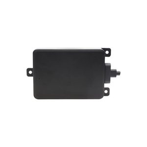
| ຕົວແບບ | AR200-2M |
| ໂມດູນເຣດາ | FMCW |
| ຄວາມຖີ່ຂອງການຖ່າຍທອດ | 24GHz |
| ເຂດຕາບອດ | 0.15 (ມ) / 0.5 (ft) |
| ຮັງຊອກກະກັນ | 200 (ມ) / 656 (ft) |
| ຄວາມຖືກຕ້ອງຂອງລະດັບ | ±20 (ມມ) / ±0.8(ໃນ) |
| ອັດຕາການໂຫຼດຂໍ້ມູນຄືນໃໝ່ | 10~45Hz |
| ເປົ້າໝາຍທີ່ສາມາດກວດພົບໄດ້ສູງສຸດ ຄວາມໄວ | ຕັ້ງໄວ້: ເຖິງ 134 mph (±60m/s) |
| ພາກສະຫນາມຂອງທັດສະນະ (ບູດ) | ±24° |
| ພາກສະຫນາມຂອງທັດສະນະ (ຕັ້ງໄວ້) | ±18° |
| ການປ້ອນຂໍ້ມູນພະລັງງານ | DC 4.5~28 V |
| ການນໍາໃຊ້ພະລັງງານ | 1.5ວ |
| ການໂຕ້ຕອບການສື່ສານ | UART (TTL)/CAN |
| ພິທີການ | MAVLink / DroneCAN / ARLink (ເລືອກໄດ້) |
| ຜູ້ຄວບຄຸມການບິນ | APM (ArduPilot Mega) / PX4 (PX4 Autopilot) |
| ອຸນຫະພູມເຮັດວຽກ | -40~70 (°C) / -40 ~ 158 (° f) |
| ການໃຫ້ຄະແນນຂອງ IP | IP67 |
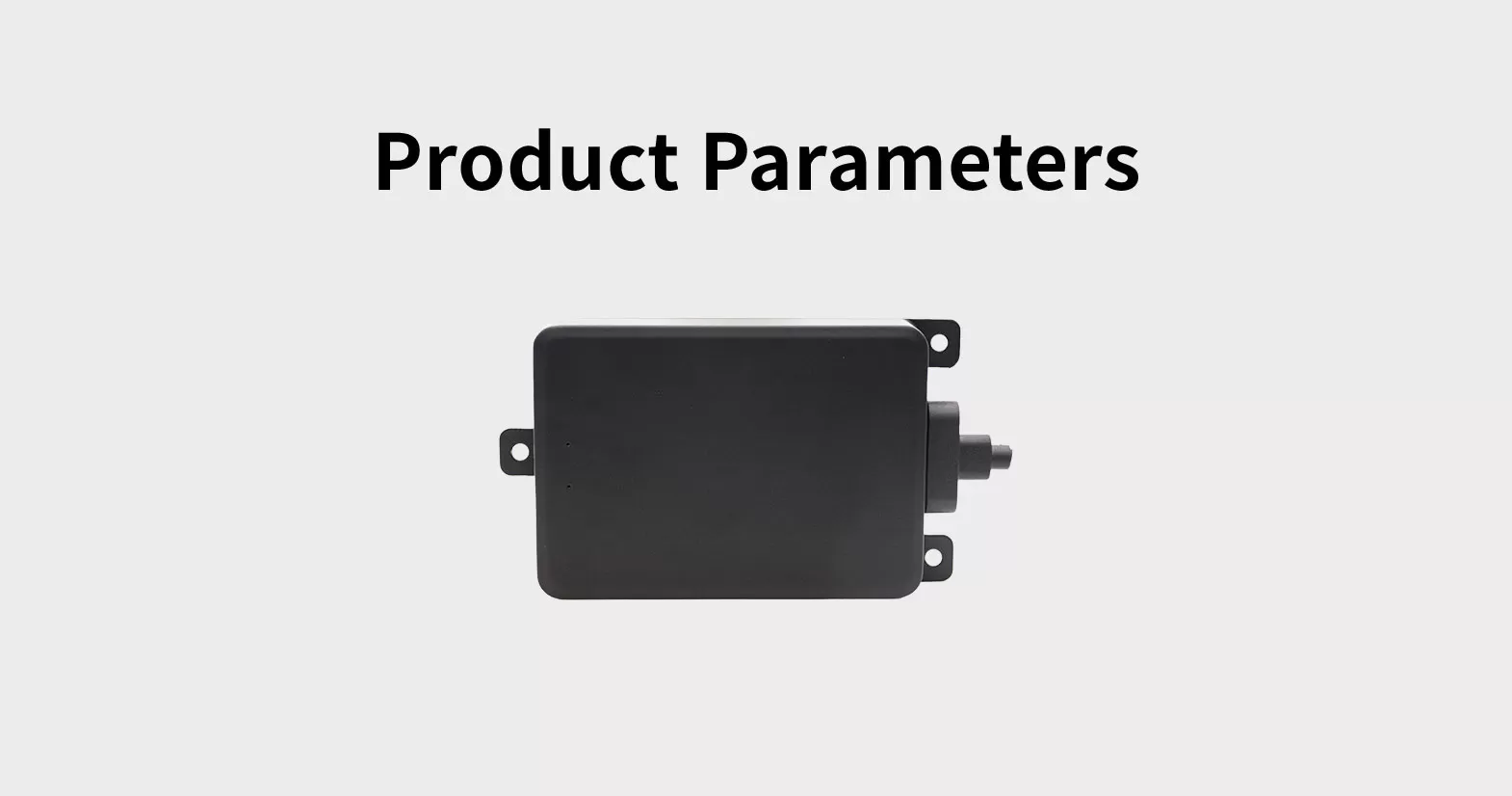
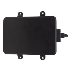
| ມິຕິ (ຍາວ*ກວ້າງ*ສູງ) | 113.2*66*16.5(ມມ) / 4.5*2.6*0.7 (ໃນ) |
| ນ້ຳໜັກ | 99 (g) / 0.22 (lb) |

WeChat
ສະແກນລະຫັດ QR ດ້ວຍ wechat