 Ndị ahịa TV
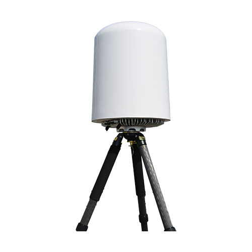
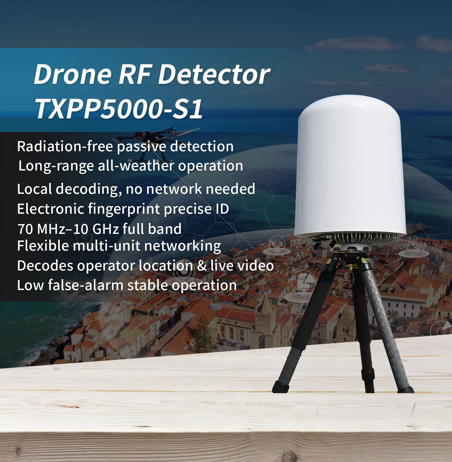
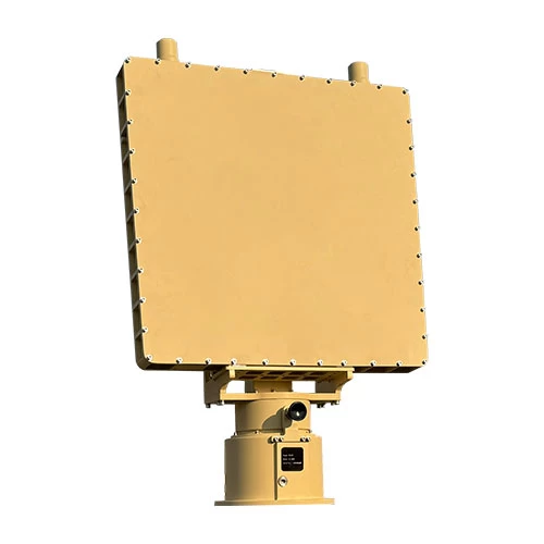
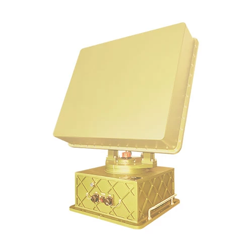
In the landscape of low-altitude threats, the hardest targets to defend against are often the ones you cannot see. FPV drones, modified UAVs, and low-flying “rogue” aircraft frequently evade cameras and radar—yet they cannot hide from radio frequency. This radio detection equipment passively intercepts drone signals without emitting high-power electromagnetic radiation, and keeps working continuously through rain, foogu, ochichiri, and building obstructions.
Covering a wide 70 MHz to 10 GHz band (subject to local frequency regulations), it identifies drone video and control links and simultaneously tracks more than 40 lekwasịrị anya, with a detection range beyond 5 km that can reach 10 km under favorable conditions, while operating with a low false-alarm rate. It captures the drone’s unique electronic fingerprint (SN), distinguishing individual airframes of the same model and resolving the operator’s location; it decodes domestic and international Remote ID standards such as GB42590-2023, ASTM F3411-22a, and ASD-STAN PrEN4709-002, as well as DJI Drone-ID; it also decodes civil aviation ADS-B broadcasts to provide real-time position information.
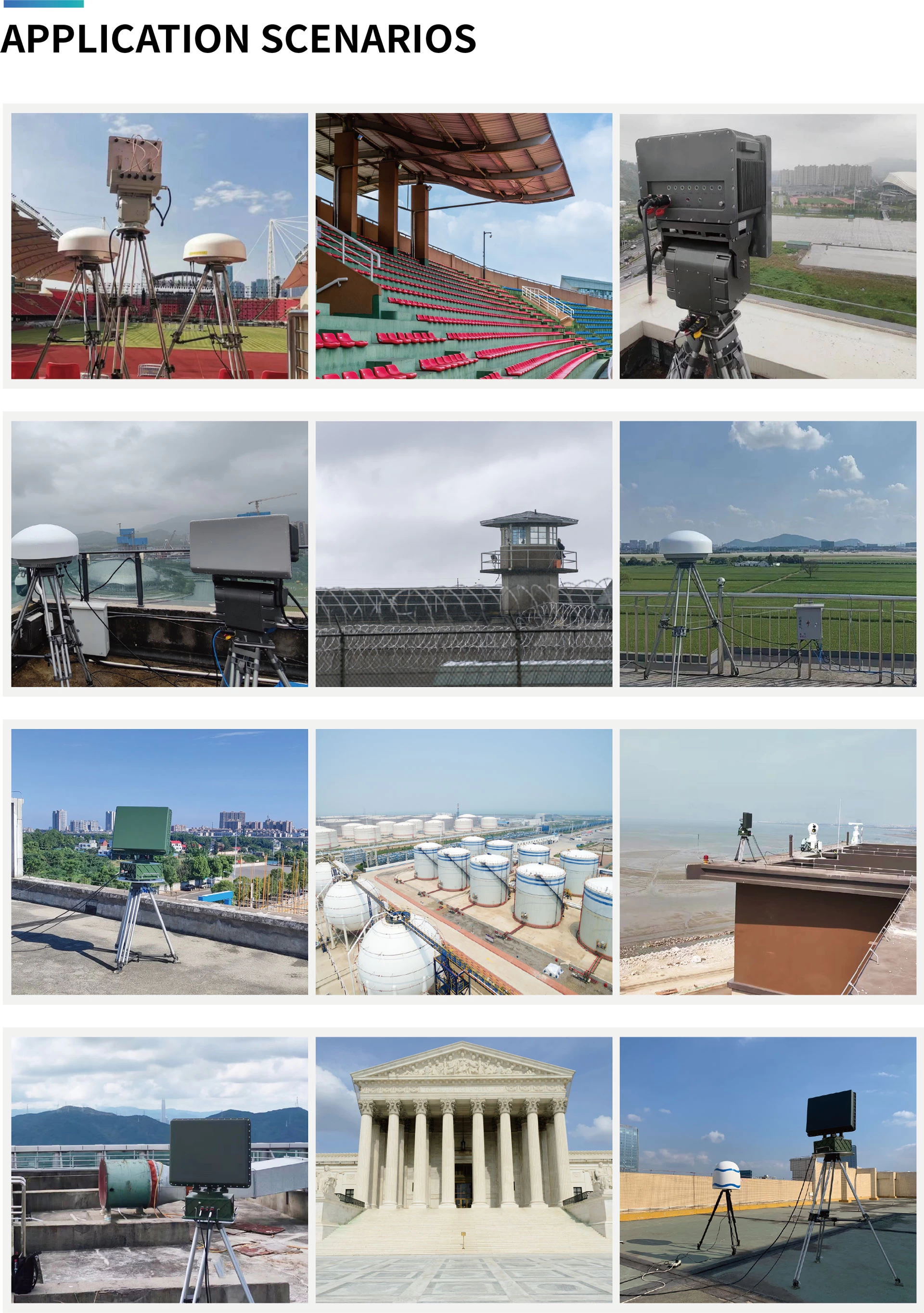
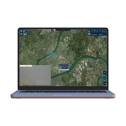
With average power consumption not exceeding 100 W and support for 7×24 unattended operation, it features built-in GPS auto north-alignment and multi-unit networking for 360° full-airspace coverage and cross-location, with linked execution of countermeasure strategies. A Web interface and RESTful API make it easy to integrate into existing security platforms. It is widely suited to low-altitude detection and operator tracing at airports, ụlọ mkpọrọ, oil depots, borders, and other critical sites.
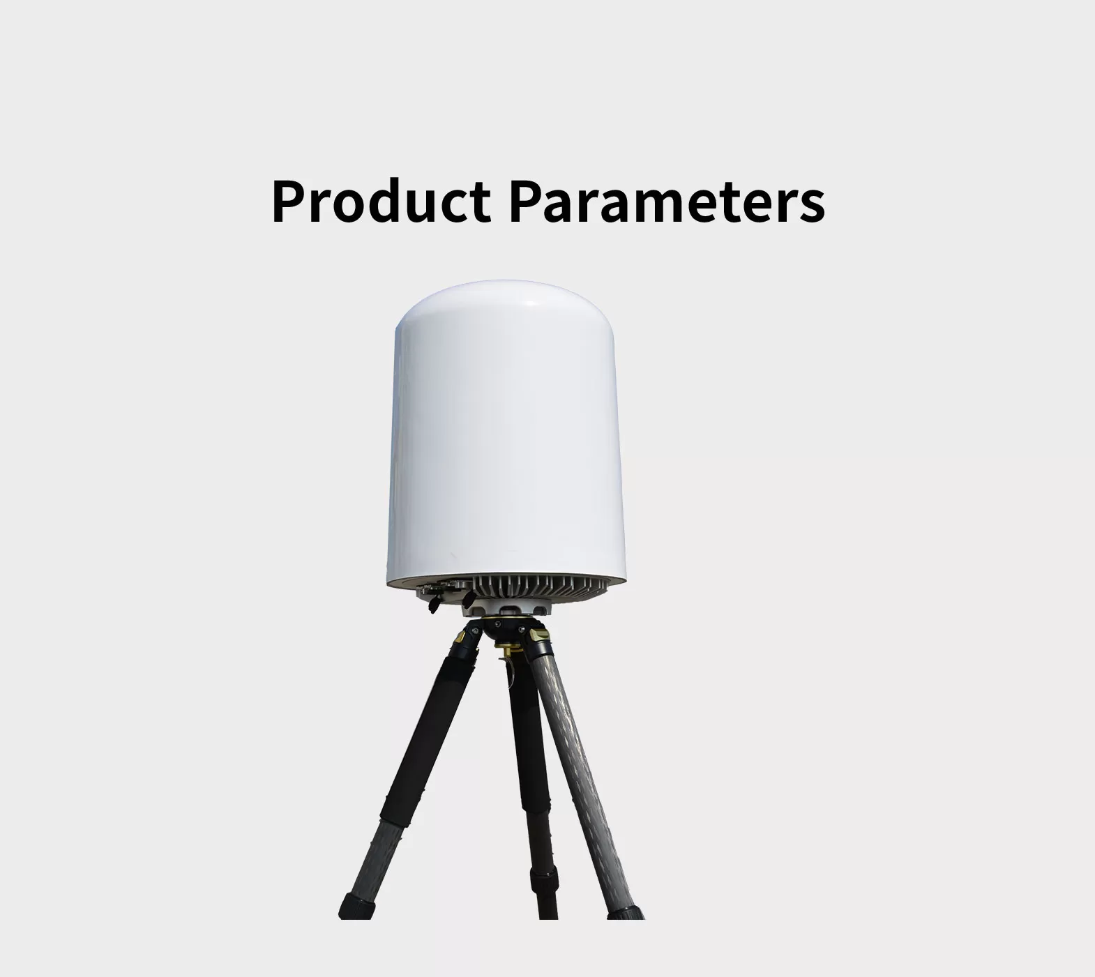
*Rịba ama na ọdịdị, nkọwapụta na ọrụ nwere ike ịdị iche.
| Nlereanya | TXPP5000-S1 |
| Frequency range | 70 MHz ~ 10 GHz |
| Oke nchọpụta kacha | ≥3 kilomita (5 km) Maximum detection distance can exceed 6 kilomita (10 km); actual performance may vary depending on the electromagnetic environment and drone type.) |
| Direction finding accuracy | ≤20°(RMS, Drone hovering condition; applicable to 2.4 GHz an 5 GHz bands only.) |
| Max n'out oge nsochi | ≥40 |
| Maximum detectable target speed | ≥±66 ft/s (±20 m/s) |
| Mkpuchi Azimuth | 0 ~ 360 Celsius |
| Mkpuchi elu | 0 ~ 90°
|
| Ịnye ọkụ | AC 80 ~ 264V / DC 113 ~ 370V |
| Ike ike | ≤ 100W |
| Ọnọdụ okpomọkụ na-arụ ọrụ | -20 ~ +60°C |
| Akụkụ | ≤ 14 × 20 n'ime (350*480 mm) (Diameter*Height) |
| Aro | ≤ 33 lbs (15 k) (Main unit only, excluding mounting bracket) |
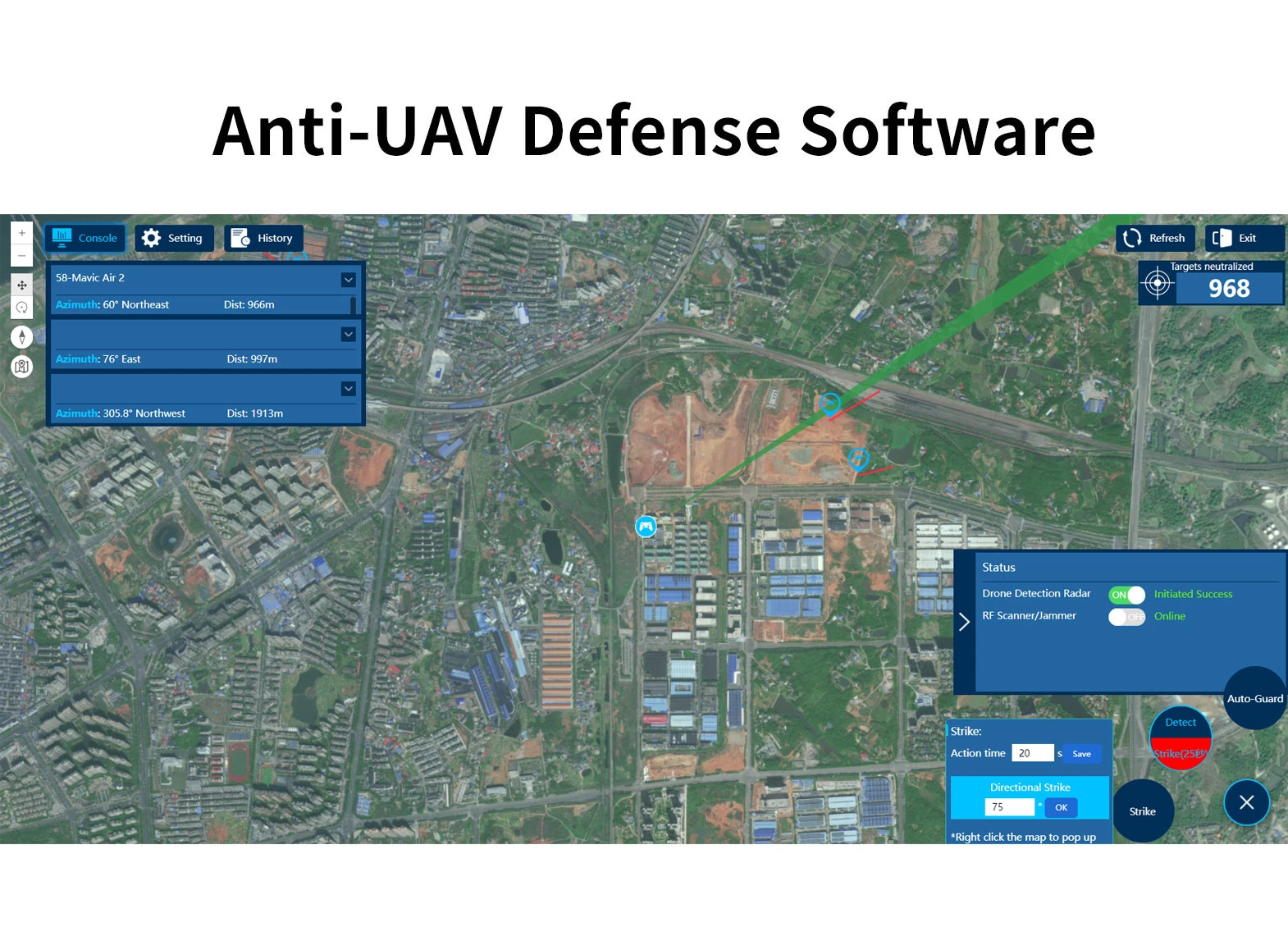
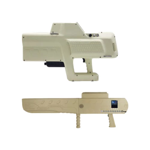
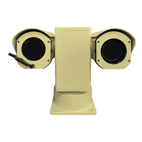
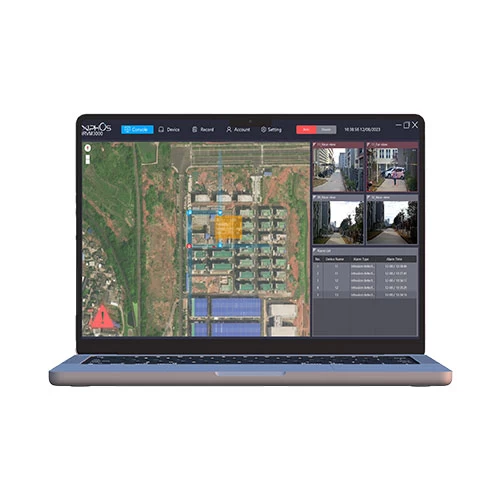
Usoro mgbachi na-agbachitere ndị mejupụtara usoro dị ka ihe nchọpụta, RF nchọpụta, E / O Ndepụta igwefoto, Rf Jemming ma ọ bụ ngwaọrụ ngwanrọ na ngwanrọ UAV. Mgbe droneters mpaghara nchekwa, Nchọpụta ihe nchọpụta ahụ na-eweta ozi ziri ezi site na ịdị anya, n'akuku, ọsọ na ịdị elu. Na-abanye mpaghara ịdọ aka ná ntị, Usoro ahụ ga-ekpebi onwe ha na mberede wee malite ngwaọrụ ndị na-akụ ahụ iji gbochie nkwukọrịta Drone, iji mee ka ịlaghachi azụ ma ọ bụ ọdịda. Usoro ahụ na-akwado ngwaọrụ ọtụtụ na njikwa mpaghara ọtụtụ ma nwee ike ịghọta 7*24 nlekota ihu igwe na nchedo megide mbuso agha.
Usoro Mgbanwe Agbachi-UAV na-enwe RADAR ma ọ bụ RF, EO Crangge unit na ngalaba Jemming. Usoro ahụ na-eme nchọpụta nchọpụta, nsochi & ude, komandi & Njikwa na Jemming, ọtụtụ ọrụ n'otu. Dabere na ọnọdụ ngwa dị iche iche, Enwere ike ibugharị sistemụ ahụ n'ime ezigbo ngwọta site na ịhọrọ ngalaba nchọpụta dị iche iche na ngwaọrụ Jemming. Audi nwere ike idozi nrụnye, Mobile ụgbọ ala a na-etinye ma ọ bụ tinye ya. Site na ụdị nrụnye, A na-eji ọgwụ ndị a na-eme n'ọtụtụ ebe nchekwa nchekwa nchekwa dị elu, A na-ejikarị ụdị ụgbọ ala na-ejikarị ihe na-eme njem ma ọ bụ karịa, A na-eji ụdị ngwa agha na-eji ọtụtụ maka mgbochi nwa oge & Njikwa na ogbako isi, Ihe egwuregwu, egwu wdc.


WeChat
Jiri wechat nyochaa koodu QR