 ผู้ค้าทีวี
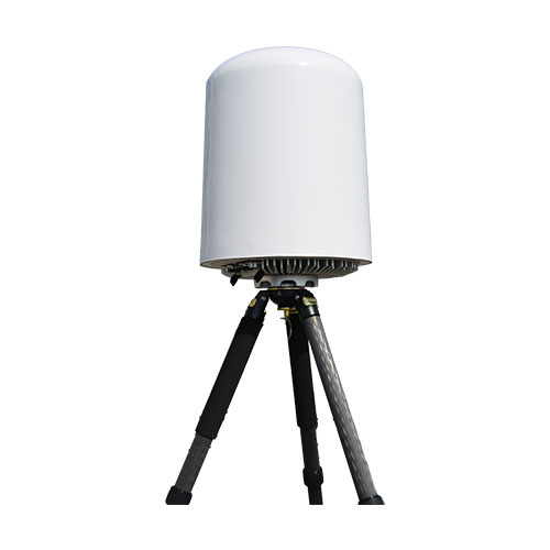
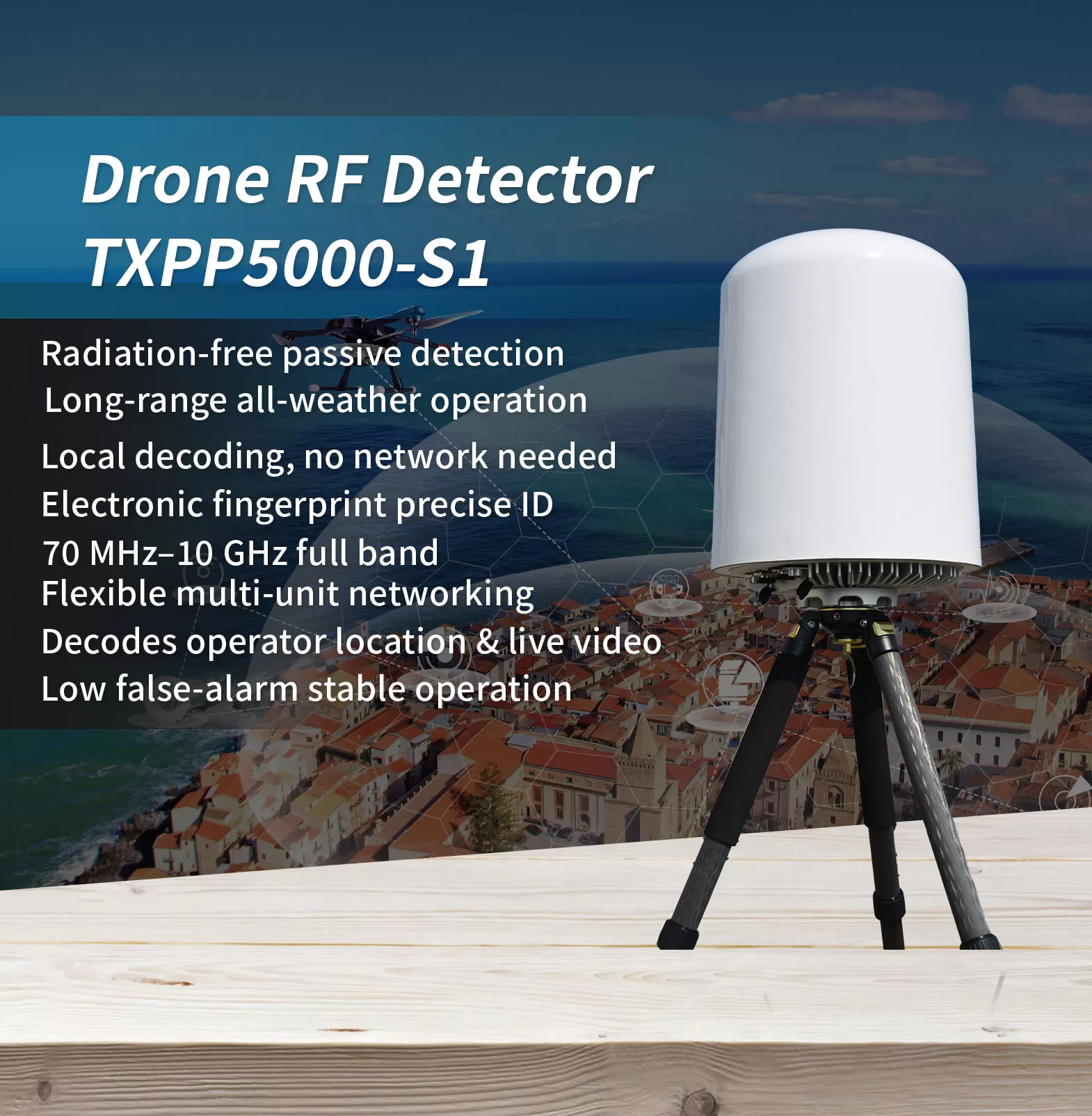
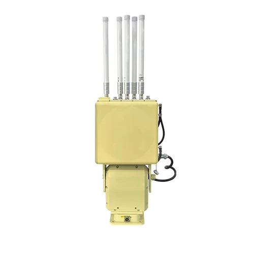
In the landscape of low-altitude threats, the hardest targets to defend against are often the ones you cannot see. โดรนเอฟพีวี, modified UAVs, and low-flying “rogue” aircraft frequently evade cameras and radar—yet they cannot hide from radio frequency. This radio detection equipment passively intercepts drone signals without emitting high-power electromagnetic radiation, and keeps working continuously through rain, หมอก, ความมืด, and building obstructions.
Covering a wide 70 MHz to 10 GHz band (subject to local frequency regulations), it identifies drone video and control links and simultaneously tracks more than 40 เป้าหมาย, with a detection range beyond 5 km that can reach 10 km under favorable conditions, while operating with a low false-alarm rate. It captures the drone’s unique electronic fingerprint (SN), distinguishing individual airframes of the same model and resolving the operator’s location; it decodes domestic and international Remote ID standards such as GB42590-2023, ASTM F3411-22a, and ASD-STAN PrEN4709-002, as well as DJI Drone-ID; it also decodes civil aviation ADS-B broadcasts to provide real-time position information.
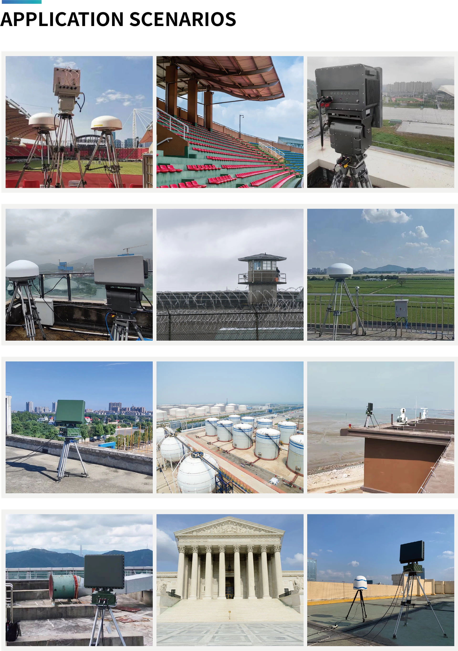
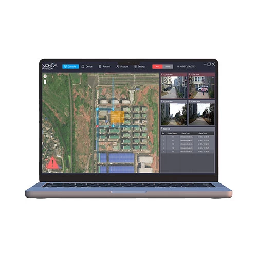
With average power consumption not exceeding 100 W and support for 7×24 unattended operation, it features built-in GPS auto north-alignment and multi-unit networking for 360° full-airspace coverage and cross-location, with linked execution of countermeasure strategies. A Web interface and RESTful API make it easy to integrate into existing security platforms. It is widely suited to low-altitude detection and operator tracing at airports, เรือนจำ, oil depots, เส้นขอบ, and other critical sites.
*โปรดทราบว่าการปรากฏตัว, ข้อกำหนดและฟังก์ชั่นอาจแตกต่างกันโดยไม่ต้องแจ้งให้ทราบล่วงหน้า.
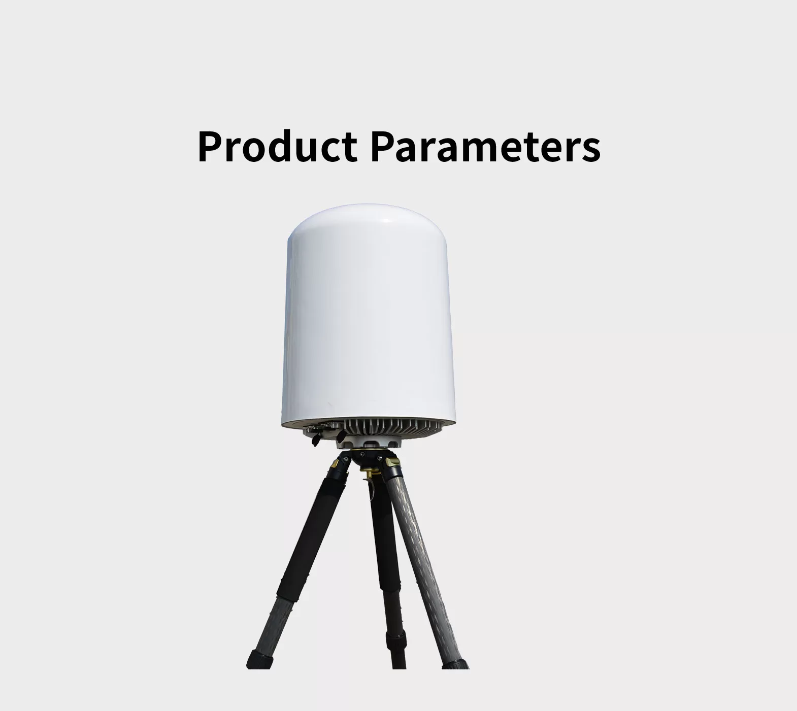
| แบบอย่าง | TXPP5000-S1 |
| Frequency range | 70 MHz ~ 10 กิกะเฮิรตซ์ |
| ช่วงการตรวจจับสูงสุด | ≥3ไมล์ (5 กม) Maximum detection distance can exceed 6 ไมล์ (10 กม); actual performance may vary depending on the electromagnetic environment and drone type.) |
| Direction finding accuracy | ≤20°(อาร์เอ็มเอส, Drone hovering condition; applicable to 2.4 GHz an 5 GHz bands only.) |
| สูงสุดพร้อมกัน ติดตาม | ≥40 |
| Maximum detectable target speed | ≥±66 ft/s (±20 m/s) |
| ความคุ้มครอง Azimuth | 0 ~ 360 ° |
| ความคุ้มครองระดับความสูง | 0 ~ 90°
|
| แหล่งจ่ายไฟ | AC 80 ~ 264V / DC 113 ~ 370V |
| การใช้พลังงาน | ≤ 100W |
| อุณหภูมิในการทำงาน | -20 ~ +60°C |
| ขนาด | ≤ 14 × 20 ใน (350*480 มม) (Diameter*Height) |
| น้ำหนัก | ≤ 33 lbs (15 กิโลกรัม) (Main unit only, excluding mounting bracket) |
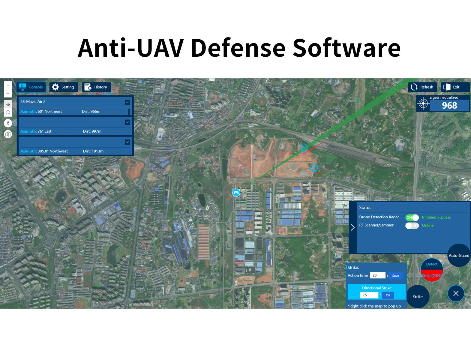
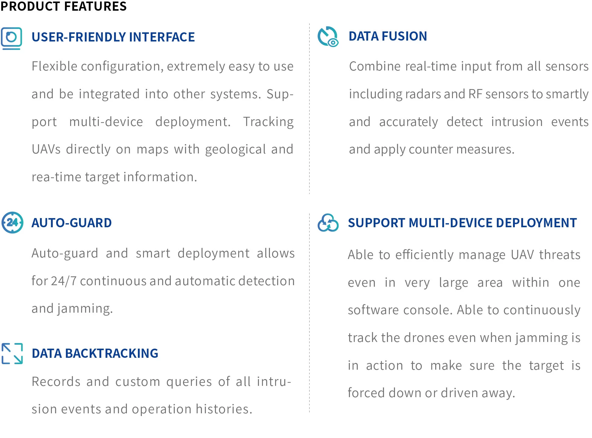
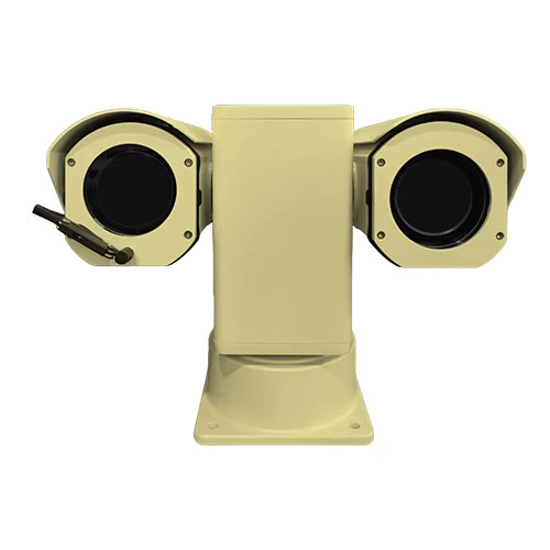
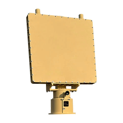
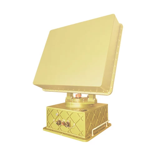
ระบบป้องกันอากาศยานไร้คนขับประกอบด้วยอุปกรณ์ส่วนหน้า เช่น เรดาร์ตรวจจับ, เครื่องตรวจจับคลื่นความถี่วิทยุ, กล้องติดตาม E/O, อุปกรณ์รบกวนหรือปลอมแปลง RF และซอฟต์แวร์แพลตฟอร์มควบคุม UAV. เมื่อโดรนเข้าสู่เขตป้องกัน, หน่วยตรวจจับจะส่งข้อมูลตำแหน่งที่แม่นยำผ่านระยะทางที่ใช้งาน, มุม, ความเร็วและความสูง. เมื่อเข้าสู่เขตเตือนภัย, ระบบจะกำหนดอย่างอิสระและเริ่มการทำงานของอุปกรณ์รบกวนเพื่อรบกวนการสื่อสารของโดรน, เพื่อให้โดรนกลับหรือลงจอด. ระบบรองรับอุปกรณ์หลายตัวและการจัดการหลายโซนและสามารถรับรู้ได้ 7*24 การตรวจสอบทุกสภาพอากาศและการป้องกันการบุกรุกของโดรน.
ระบบป้องกันอากาศยานไร้คนขับประกอบด้วยเรดาร์หรือหน่วยตรวจจับ RF, หน่วยติดตาม EO และหน่วยติดขัด. ระบบผสมผสานการตรวจจับเป้าหมาย, ติดตาม & การยอมรับ, สั่งการ & ควบคุมการติดขัด, มัลติฟังก์ชั่นในหนึ่งเดียว. ขึ้นอยู่กับสถานการณ์การใช้งานที่แตกต่างกัน, ระบบสามารถปรับใช้ได้อย่างยืดหยุ่นในโซลูชันที่เหมาะสมที่สุดโดยการเลือกหน่วยตรวจจับและอุปกรณ์รบกวนที่แตกต่างกัน. AUDS สามารถติดตั้งแบบคงที่ได้, รถยนต์ติดตั้งหรือพกพา. ตามประเภทการติดตั้งแบบตายตัว, AUDS ถูกนำมาใช้กันอย่างแพร่หลายในเว็บไซต์ป้องกันความปลอดภัยระดับสูง, แบบติดตั้งบนยานพาหนะ โดยปกติจะใช้สำหรับการลาดตระเวนตามปกติหรือมากกว่า, และแบบพกพาก็นิยมใช้ป้องกันชั่วคราวมาก & ควบคุมในการประชุมสำคัญ, กิจกรรมกีฬา, คอนเสิร์ต ฯลฯ.

วีแชท
สแกนรหัส QR ด้วย wechat