 TV BAHOEBI
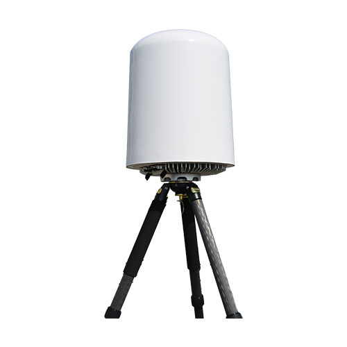
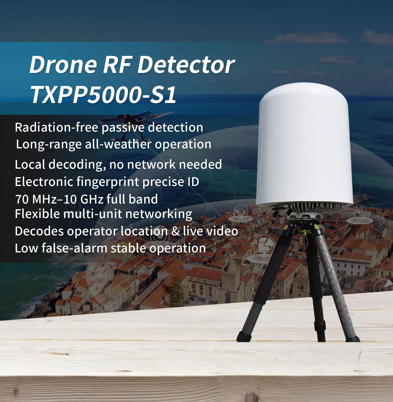
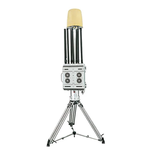
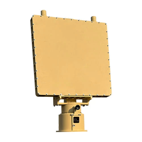
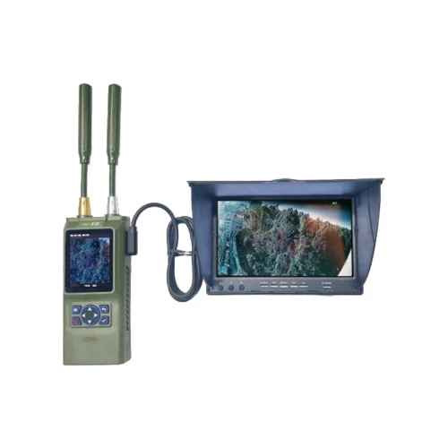
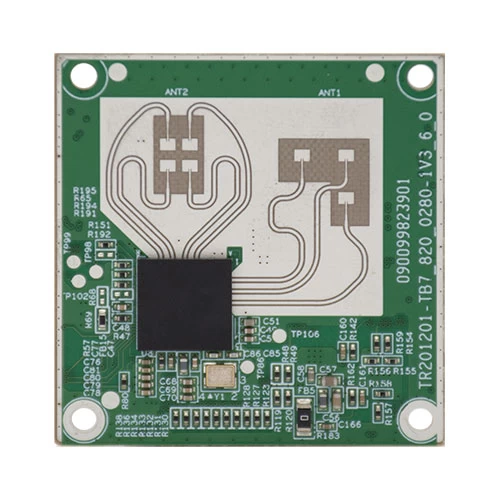
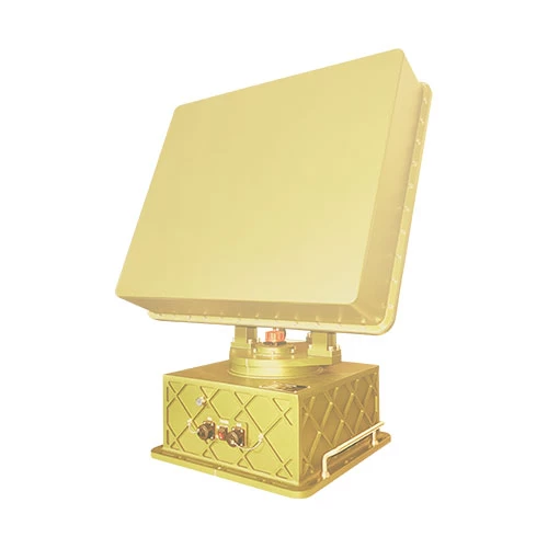
In the landscape of low-altitude threats, the hardest targets to defend against are often the ones you cannot see. Li-drones tsa FPV, modified UAVs, and low-flying “rogue” aircraft frequently evade cameras and radar—yet they cannot hide from radio frequency. This radio detection equipment passively intercepts drone signals without emitting high-power electromagnetic radiation, and keeps working continuously through rain, fog, Lefifi, and building obstructions.
Covering a wide 70 MHz to 10 GHz band (subject to local frequency regulations), it identifies drone video and control links and simultaneously tracks more than 40 Lipheo, with a detection range beyond 5 km that can reach 10 km under favorable conditions, while operating with a low false-alarm rate. It captures the drone’s unique electronic fingerprint (SN), distinguishing individual airframes of the same model and resolving the operator’s location; it decodes domestic and international Remote ID standards such as GB42590-2023, ASTM F3411-22a, and ASD-STAN PrEN4709-002, as well as DJI Drone-ID; it also decodes civil aviation ADS-B broadcasts to provide real-time position information.
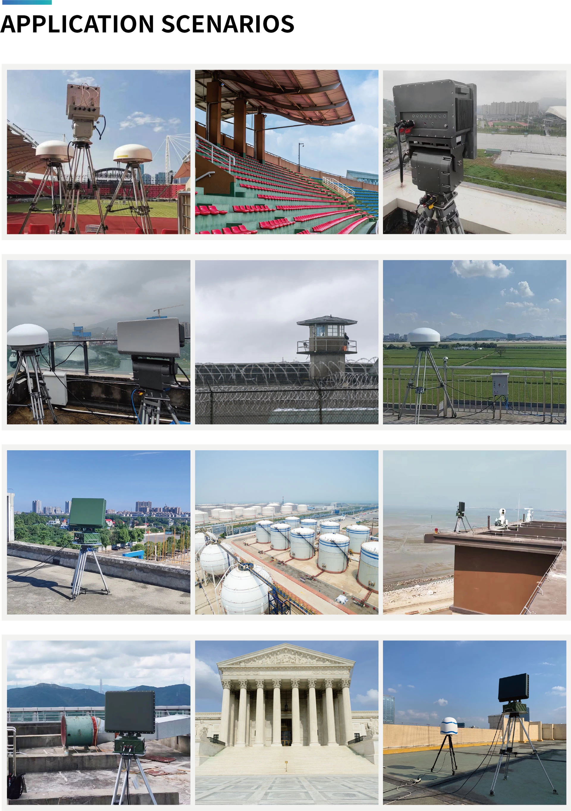
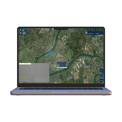
With average power consumption not exceeding 100 W and support for 7×24 unattended operation, it features built-in GPS auto north-alignment and multi-unit networking for 360° full-airspace coverage and cross-location, with linked execution of countermeasure strategies. A Web interface and RESTful API make it easy to integrate into existing security platforms. It is widely suited to low-altitude detection and operator tracing at airports, lichankana, oil depots, borders, and other critical sites.
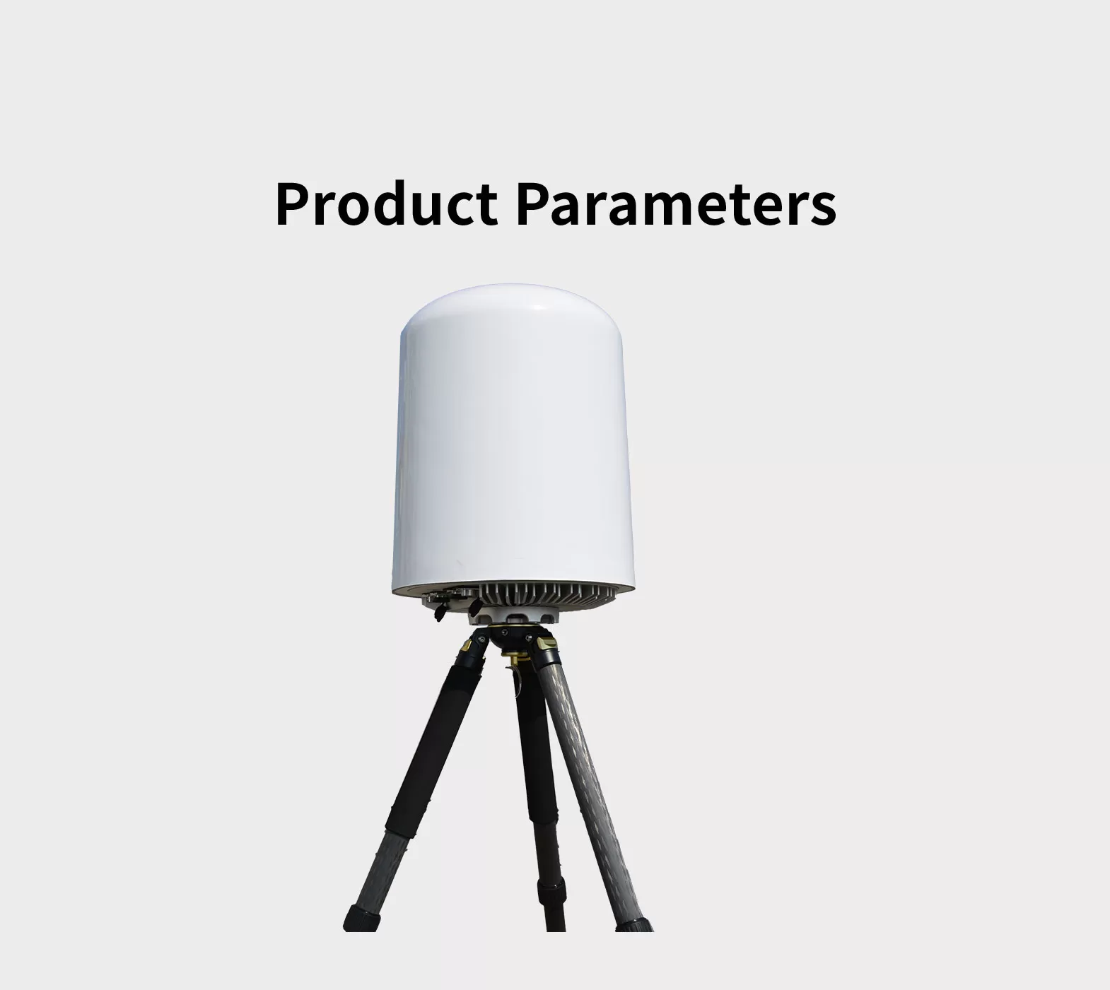
*Hlokomela hore ponahalo, Litlhaloso le mesebetsi li ka fapana ntle le tsebiso.
| Mohlala | TXPP5000-S1 |
| Frequency range | 70 MHz ~ 10 Ghz |
| Boemo bo phahameng ba ho lemoha | ≥3 limaele (5 km) Maximum detection distance can exceed 6 miles (10 km); actual performance may vary depending on the electromagnetic environment and drone type.) |
| Direction finding accuracy | ≤20°(RMS, Drone hovering condition; applicable to 2.4 GHz an 5 GHz bands only.) |
| Max ka nako e le 'ngoe ho latellana | ≥40 |
| Maximum detectable target speed | ≥±66 ft/s (±20 m/s) |
| Tšireletso ea Azimuth | 0 ~ 360 ° |
| Kakaretso ea bophahamo | 0 ~ 90°
|
| Phepelo ea motlakase | AC 80 ~ 264V / DC 113 ~ 370V |
| Sebetsa Matla | ≤ 100W |
| Mocheso o sebetsang | -20 ~ +60°C |
| Boholo | ≤ 14 × 20 ho (350*480 mm) (Diameter*Height) |
| Boima | ≤ 33 lbs (15 kg) (Main unit only, excluding mounting bracket) |
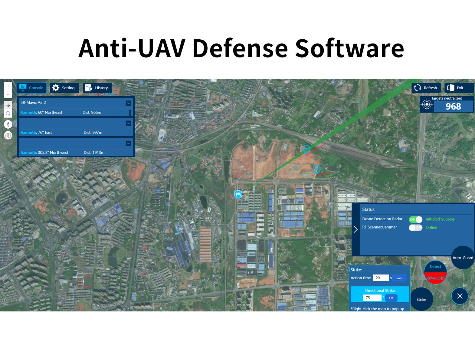
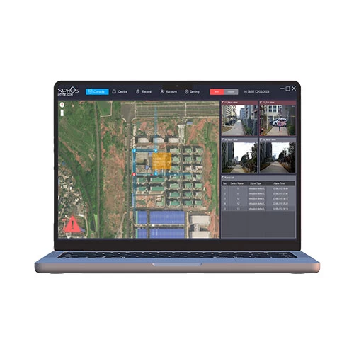
Sisteme ea ts'ireletso ea anti-Uav e entsoe ka lisebelisoa tsa pele tse kang radar, RF Defector, Khamera ea E / O Tracking, RF jwamming kapa sesebelisoa sa spofaling le software ea UAV. Ha li-droneenter li na le sebaka sa ts'ireletso, Sesebelisoa sa ho lemoha ho fumana tlhaiso-leseling e nepahetseng ka mokhoa o sebetsang, angle, lebelo le bophahamo. Ho kena sebakeng sa temoso, Sistimi e tla khetholla ka bolokolohi mme o qale sesebelisoa sa ho sesa ho kena-kenana le mohokahanyi oa drone, e le ho etsa hore drone e khutlele kapa e beiloe. Sisteme e ts'ehetsa li-distation tse ngata tsa likarolo tsa libaka tsa libaka tsa libaka tsa libaka tseo u ka li bonang 7*24 Boemo ba leholimo le tšireletso ea leholimo le ts'ireletso khahlanong le insune.
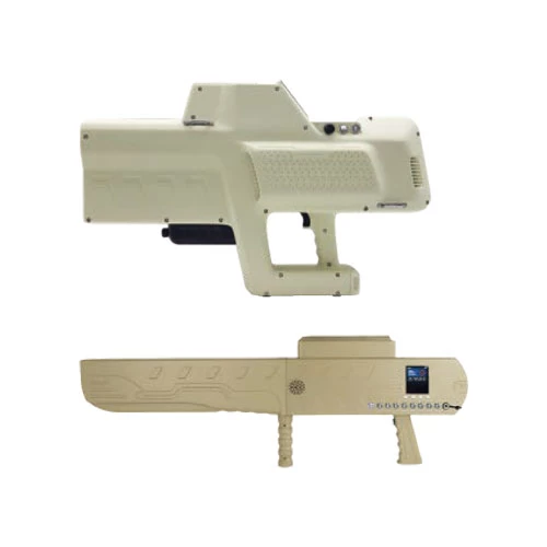
Sistimi ea ts'ireletso ea Anti-UAV e na le yuniti ea radar kapa ea ho shoela, Yuniti ea EO Tracking le JOMMING. Sistimi e kopanya ho lemoha sepheo, ho latellana & TLHOKOMELISO, Taelo & Taolo ho Jumming, Mesebetsi e mengata ho e le 'ngoe. Ho ipapisitsoe le maemo a fapaneng a kopo, Sistimi e ka sebelisoa haholo ka tharollo e nepahetseng ka ho khetha yuniti e fapaneng ea ho khethoa le sesebelisoa sa jamming. Auds e ka ba ho kenngoa ts'ebetsong, koloi e halikiloeng kapa e ka nkeloa. Ka mofuta o hlophisitsoeng oa ho kenya, Aust e sebelisoa haholo sebakeng sa ts'ireletso ea ts'ireletso ea boemo ba ts'ireletso, Mofuta oa makoloi hangata o sebelisoa hangata bakeng sa patrol ea tloaelo kapa ho feta, le mofuta o kabeloang o sebelisoa haholo bakeng sa thibelo ea nakoana & taolo sebakeng sa bohlokoa, Liketsahalo tsa Lipapali, konsarete enc.

WeChat
Hlakola khoutu ea QR ka wechat